Products

Products
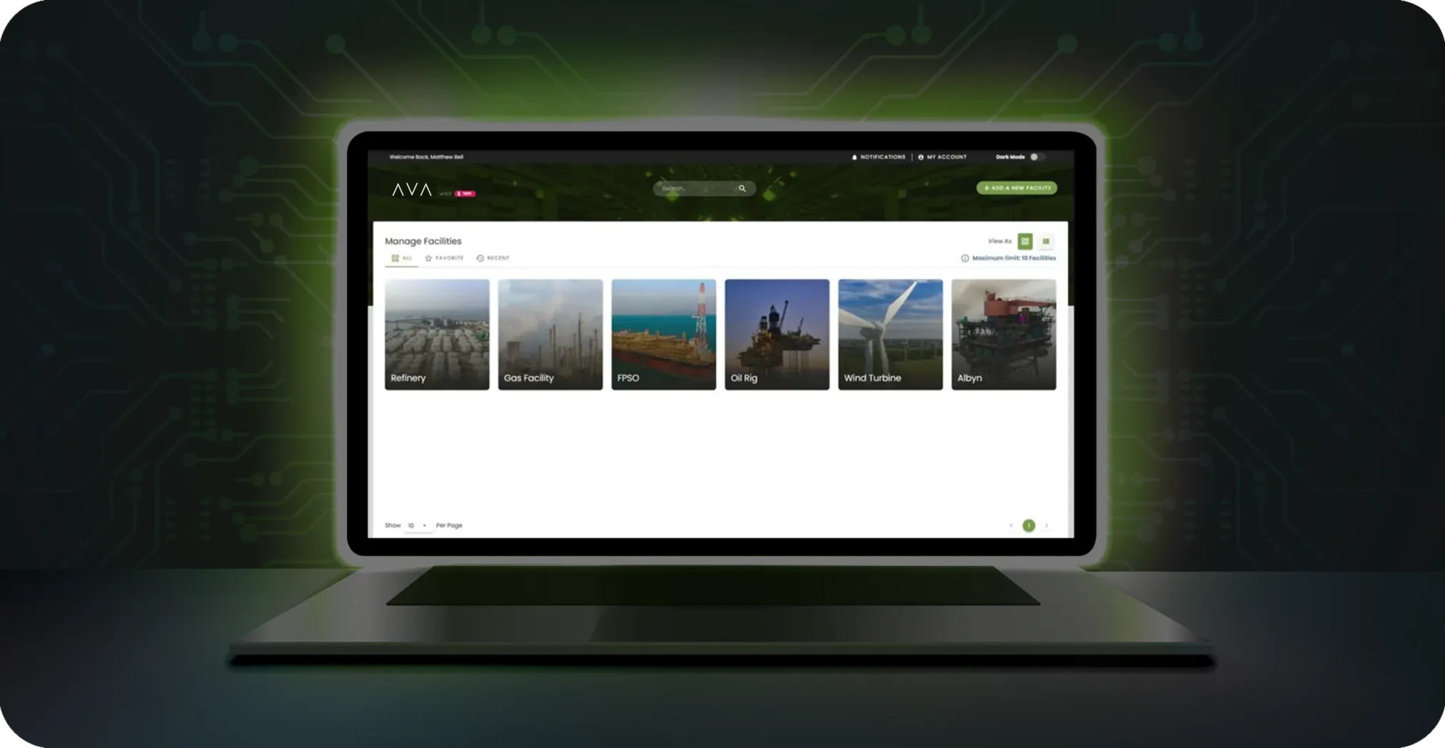
Integrated Digital Platform
Centralize data, streamline operations, and unlock a unified view of your assets.
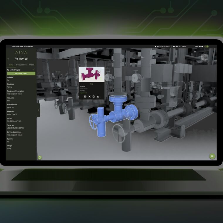
Bring all documents and data across facilities into a single source of truth - accessible to stakeholders, contractors, and vendors. Explore your facility virtually in 3D, automate workflows through a tag-driven digital thread, and link tasks for seamless management. Integrate existing systems for a holistic view, and harness AI and machine learning to drive smarter, faster decisions across your operations.
Products
AVA Virtual
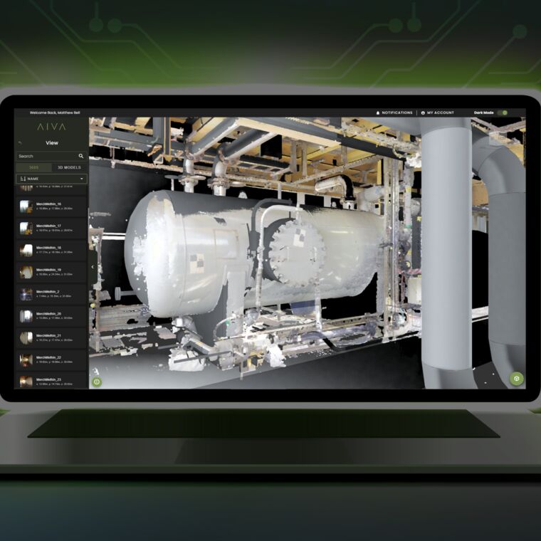
AVA Virtual brings your facility to life with seamless, interactive access.
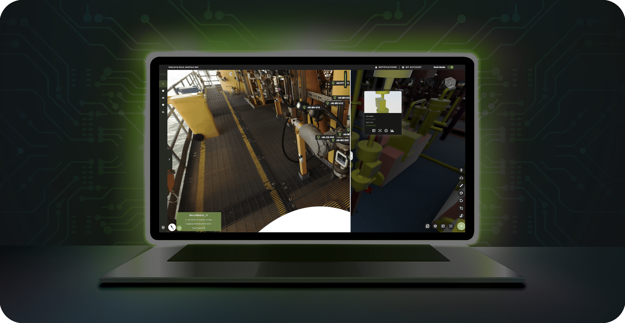
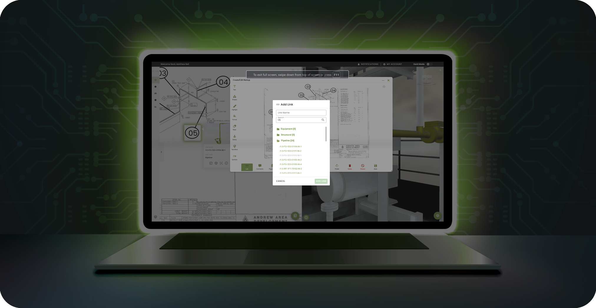
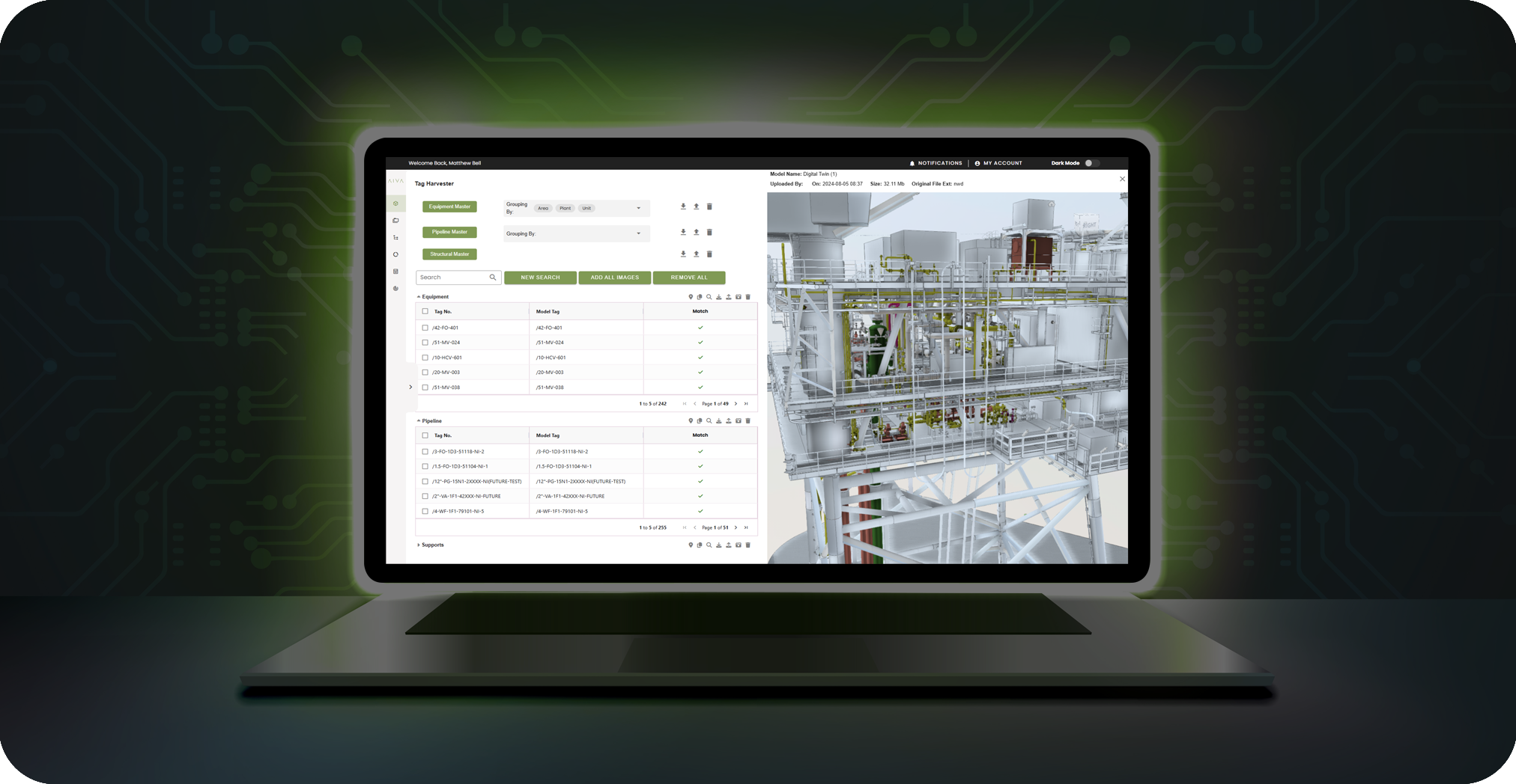
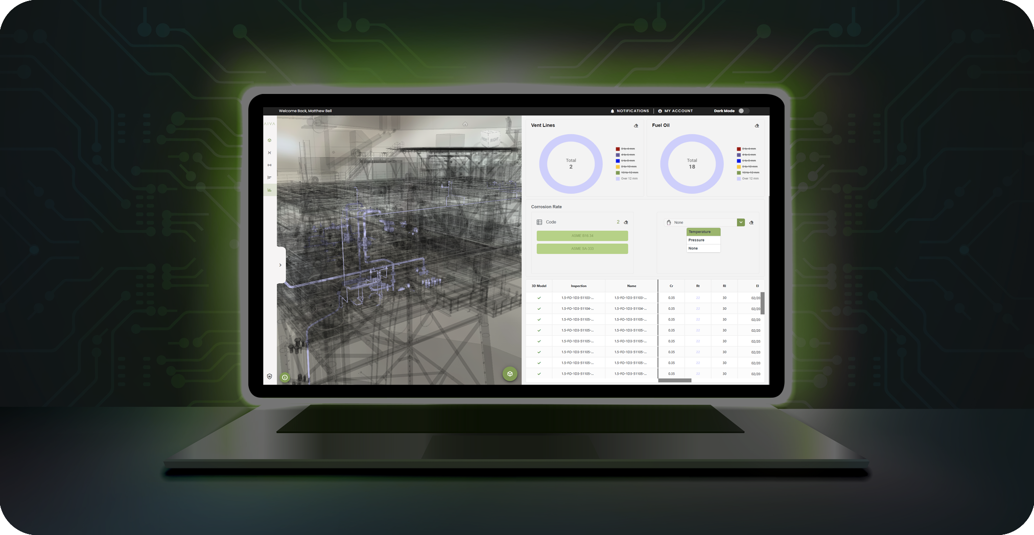
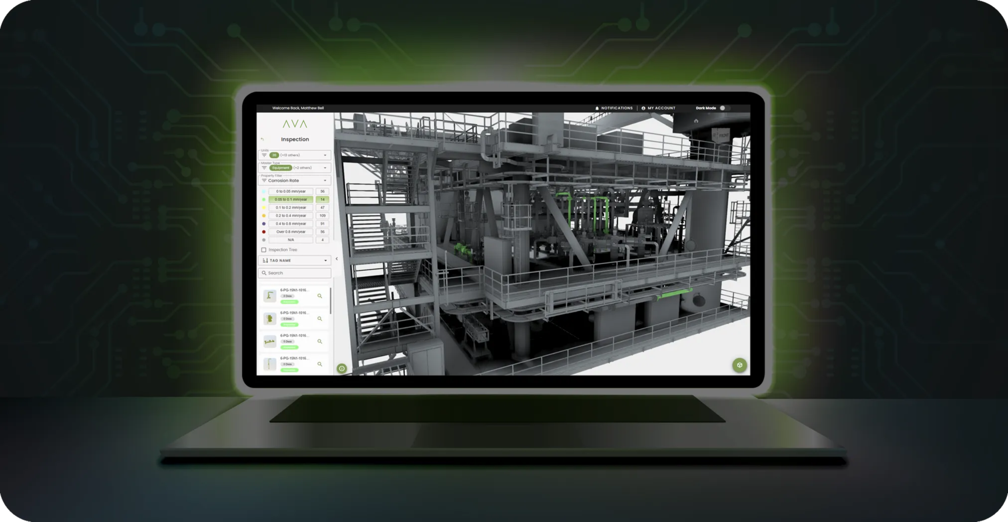
Explore 3D models, point clouds, 360° images, intelligent P&IDs, and layout plans - all in one immersive platform. Use hotspots to link 2D documents directly to the 3D environment, streamlining navigation and context. The Master Tag Harvester centralizes your data, generating structured reports and dashboards that align with industry standards.
Monitor, analyze, simulate, and collaborate in real time - empowering smarter decisions and boosting operational efficiency.
Products
AVA Plan
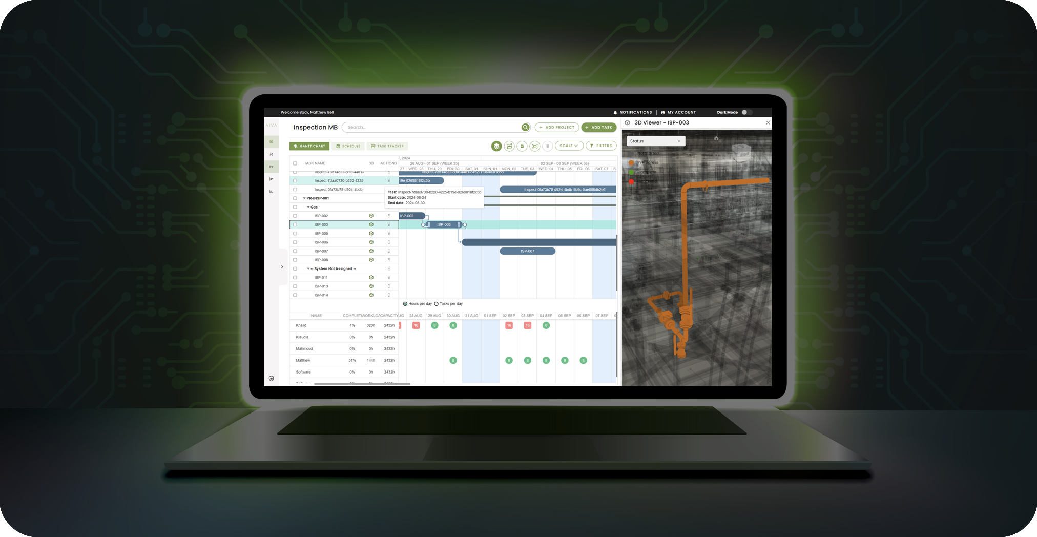
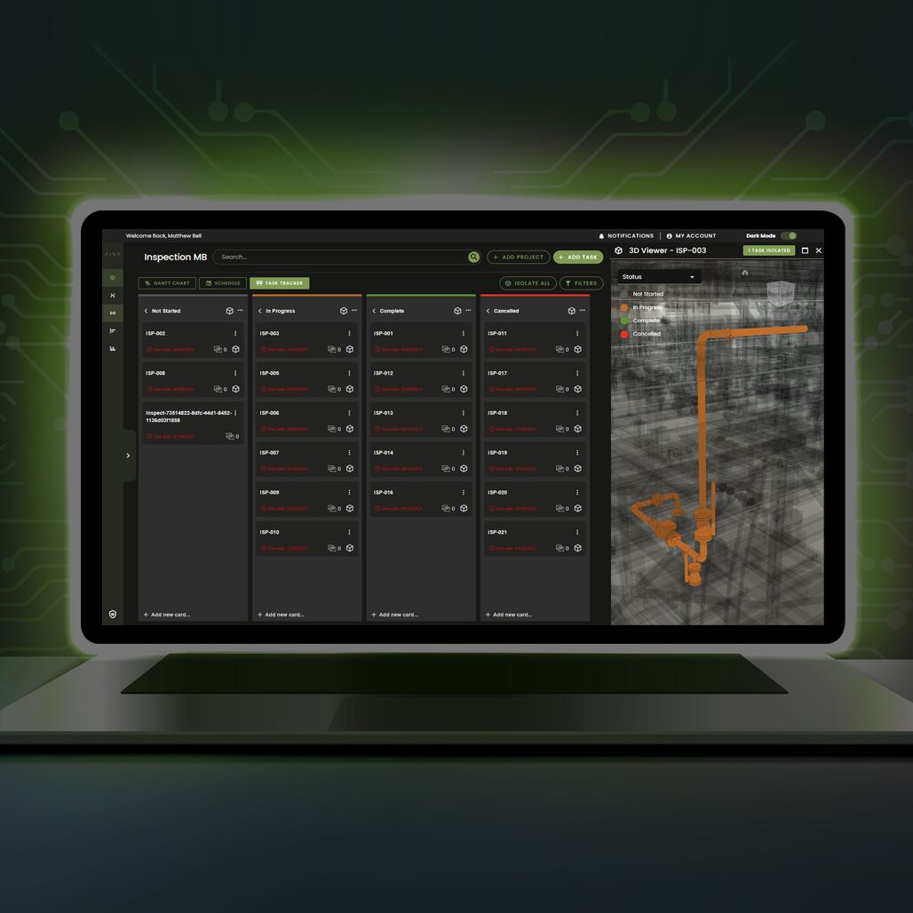
Streamline operations with integrated planning, task tracking, and scheduling tools, optimizing asset utilization and minimizing downtime

Key Features
- Full Maintenance planning & scheduling in 4D
- Manage projects and tasks linked via equipment tags
- Integrate CMMS systems such as SAP & Maximo
- Resource Management
- Task dependency & critical path calculation
- Auto Scheduling
- Baselines, deadlines & milestones
- Grouping of tasks (Systems, WO etc)
- Split tasks into sub tasks
- Task constraints
- Scheduling tools & reminders
- Progress tracking
- History tracking
- Document control and revisions
- Collaborative chat
- Customisable settings
Products
AVA Ai
Harness the power of AI and machine learning to enable proactive maintenance, peak performance, and full compliance.
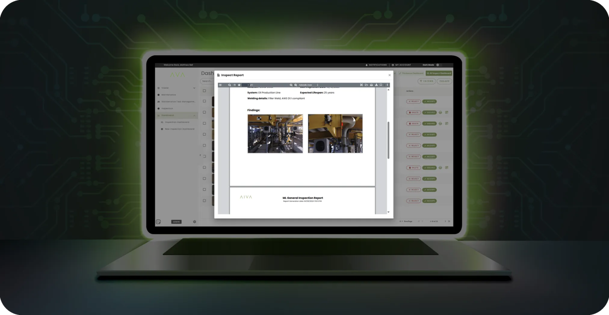
We gather high-quality data from complex environments and analyze it using advanced algorithms to detect patterns - such as corrosion detection and classification. This intelligence is mapped into a dynamic digital twin, offering real-time context and deep condition assessments. Automated reports deliver actionable insights, driving efficient, targeted maintenance campaigns aligned with your asset performance and integrity goals.
AVA
Why Choose AVA?

01
Efficiency
Enhance operational efficiency with seamless data integration and AI-driven decision support.
02
Versatility
Adapt AVA to your industry needs with its multi-disciplinary approach, supporting diverse data types and processes.
03
Innovation
Stay ahead with cutting-edge technology that transforms asset management into a proactive, predictive endeavour.
AVA
Who Can Benefit?
We designed AVA to put control, visibility, and answers in your hands!
01
Industries
Ideal for sectors requiring robust asset management and inspection capabilities, including manufacturing, infrastructure, energy, and more.
02
Professionals
Empowers engineers, planners, and maintenance teams with tools for smarter decision-making and optimized workflows.
